White Hill & The Wainstones

Route
Starting from Clay Bank car park, cross the road and look out for a well-trodden inlet onto the forestry footpath — head left here to join the Cleveland Way. This shortcut saves you from walking up the roadside to reach the main path.
It’s a lovely, well-signposted route — just keep your eyes peeled for the white acorns that mark the Cleveland Way through the Wainstones.
The walk begins with a steady ascent up a stony path through heather and bracken towards White Hill. Look to your right for sweeping views across the edge of the North York Moors, including Ingleby Incline and Roseberry Topping — absolutely breathtaking on a clear day.
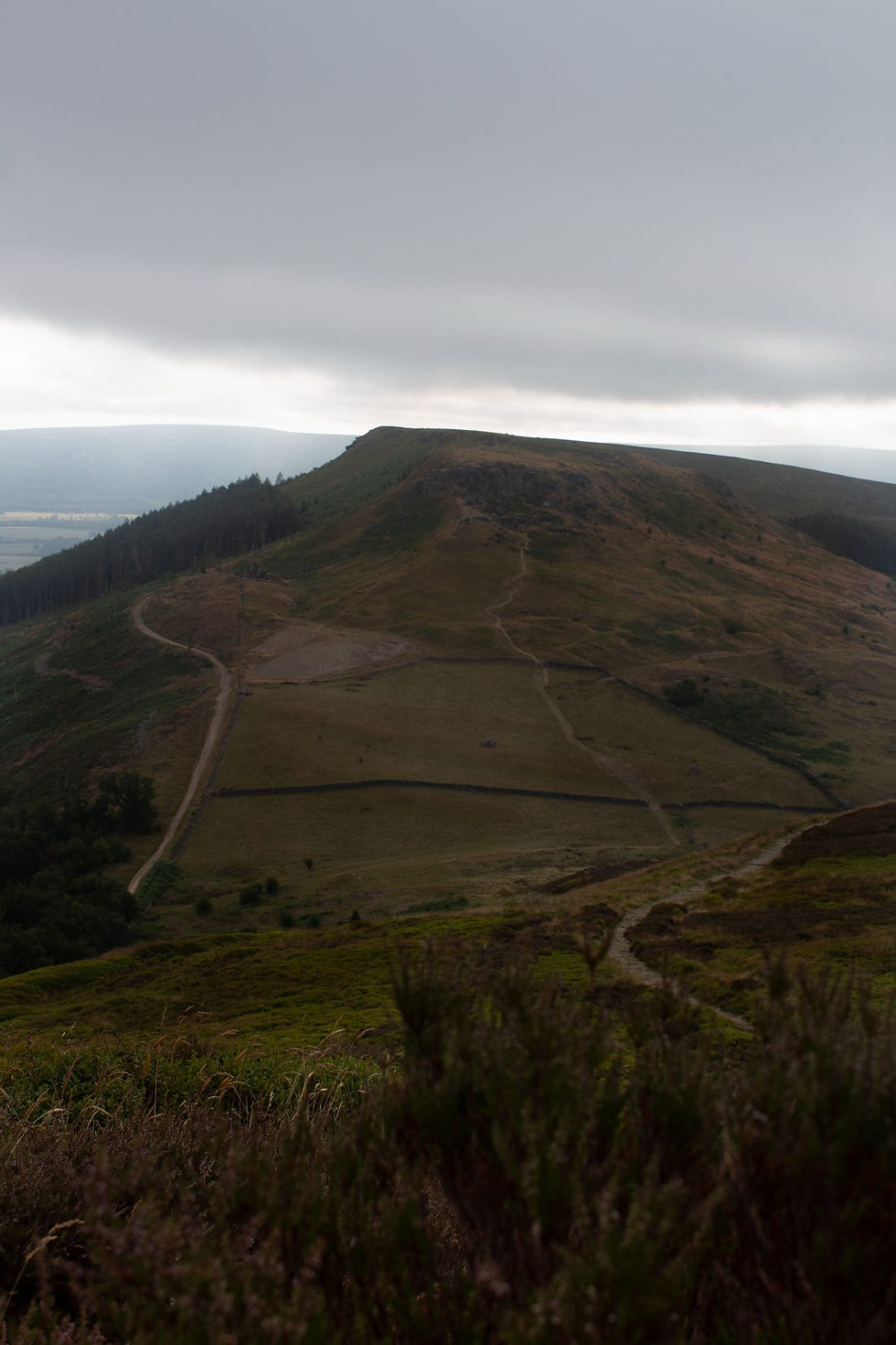
Once you reach the top, soak in the views before continuing along the clearly marked path towards the Wainstones. In the summer months, you may encounter cows grazing along the top. They’re usually unbothered by walkers and dogs, but it’s worth noting if your dog needs to be on lead around livestock.
The Wainstones are a great spot for a brew stop. There’s a little bit of navigation required through the boulders — look out for the white acorns painted on the rocks to guide your way. While it’s not a scramble, dogs that aren’t used to rocky terrain might need a little help here. Ivy’s only one and managed it just fine, but we had her grab handle ready in case she needed a boost.
After the Wainstones, you’ll descend and take a right at the bottom, heading through a gate and onto a forest track with lovely views over towards Roseberry Topping. The path back to the car park is easy to follow, a gentle descent that follows the treeline back to your original starting point.
We love this walk year-round — it’s just as good in summer as it is in winter. There’s a longer version too if you fancy extending it across the Cleveland Hills, with options to stop for coffee, cake, or even a Sunday roast. But if you’re short on time, this route is a corker: big views, only one mildly challenging section, and no stiles!
It’s also a fab option for Canicross. With some technical sections and lovely climbs, it’s a tried-and-tested favourite for me and Pip!


Where to park?
Parking start point: 54.42445° N, 1.11941° W
Parking is available at Clay Bank Car Park
The car park is located approximately 2 miles south of Great Broughton.
Parking fees are as follows:
Up to 4 hours: £3.00
Up to 8 hours: £5.00
Facilities
The nearest public toilet is 3 mile drive away at Chop Gate Car Park
We’d recommend stopping by The Dudley Arms in Ingleby Greenhow, just a 7-minute drive away.
They’ve got a lovely dog-friendly café with both indoor and outdoor seating, plus facilities on site.
Important information for pet owners
Please be mindful of livestock throughout the year.
No stiles or water sources on route.
Your Reviews & Photos
Submit your review and photos via email to feature below
Don't forget to include your Instagram handle if applicable
*Please note by doing so you give permission for Great Outpaws to post your review online.

Coming Soon
Review coming soon

Coming soon
Review coming soon
Coming soon
Review coming soon


Other Routes
Coming Soon
📏
🏔️
❤️
🅿️
Coming Soon
📏
🏔️
❤️
🅿️
Coming Soon
📏
🏔️
❤️
🅿️
For more inspiration check out our other guides below
*please note all walking statistics, elevation gain and milage, are taken from an Apple or Garmin Watch.
